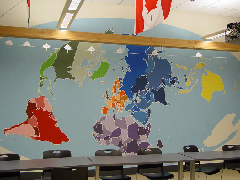
Map Mural
Goals: to know where countries of the world are located, to visualize the location of historical and current events, to evaluate the advantages and disadvantages of various map projections.
Project: A strong grasp of world geography is essential to understanding history and current events. My 9th grade humanities students planned and painted a map on our classroom wall to use as a reference throughout the year.
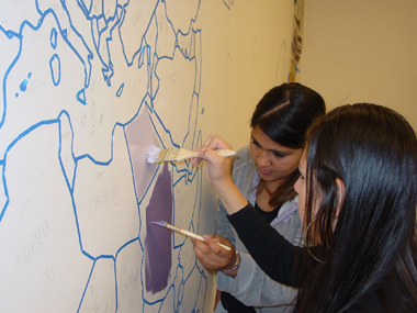
As we planned, students made decisions about size, style, and colors. Perhaps the most important decision was what projection to use. After investigating many projections, they voted for the unusualMollweide Oblique, because it shows the roundness of the Earth, shows areas accurately without excessive distortion, and "looks cool." After tracing over a fuzzy overhead projection and fine-tuning the details,they masked the borders.
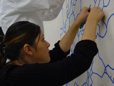
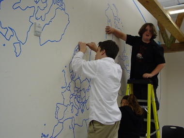
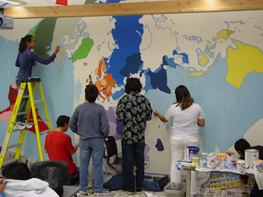
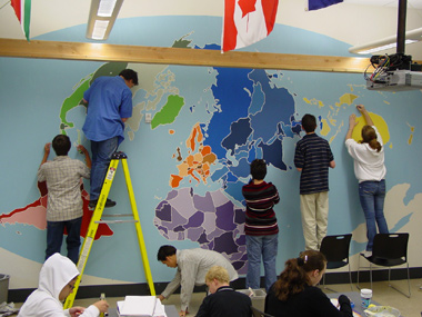
Students worked in teams by continent and took responsibility for individual countries. Once we'd checked again and again that every country was the right shape and bordered the correct neighbors, we mixed paints and started painting. Planning, tracing, masking, and checking had taken weeks, but the actual painting only took a few days.
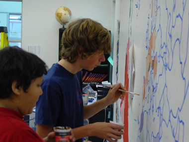
Excited to see the map finished, a number of students stayed into the evening on the last painting day. Once the blue tape was removed, we realized we had to erase all the pencil marks we'd made underneath.
The finished map: